UK weather: Brace yourself, storm Frank is coming, bringing severe gales and more rain in flood-hit areas, warns the Met Office

The UK is facing further misery as wet and windy weather is due to hit the country with storm Frank, the Met Office has warned.
The sixth storm to hit the UK this season, Frank will arrive on Tuesday evening and throughout Wednesday, bringing unsettled and stormy weather.
Gales wil arrive in western parts of the UK on Tuesday evening, continuing into Wednesday, with gusts of 55 to 65 mph likely and even 70 to 80mph winds in exposed areas such as north west Scotland, the Met Office said.
Read more: Hundreds forced to flee homes to escape floods
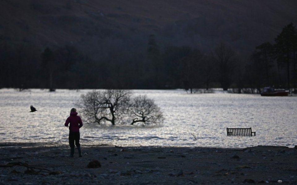
Storm Frank will also bring further rain, affecting areas already devastated by floods over the last week, and is expected to cause more disruption.
Heavy rain will hit parts of Northern Ireland, west and south west Scotland, moving into north west England and Wales throughout Wednesday. Rainfall of between 20 and 40mm is expected to be widespread, however some areas could receive nearly four times that, including Cumbria and south west Scotland.
"We expect stormy conditions to return midweek, and have already issued National Severe Weather Warnings for gales on Tuesday and heavy rain on Wednesday, as a rapidly deepening area of low pressure, storm Frank, passes to the north west of the UK," said the Met Office's chief meteorologist, Will Lang.
Read more: UK towns devastated by floods – in pictures
"Everyone should be aware of the potential for disruption in places from further flooding and the impacts of the gales to transport, especially in areas such as southern and central Scotland and Cumbria where amber 'be prepared' warnings are in place.
"The weather is particularly unsettled at the moment and we advise everyone to stay up to date with the latest Met Office forecasts and warnings and find out what to do in severe weather so they can plan ahead for the expected weather before it arrives."