Ordnance Survey map of Mars is an intergalactic guide for ramblers

Never get lost again with this handy map of, er, Mars.
The bastion of British mapping, Ordnance Survey, has created a new guide for ramblers, hikers and drivers to use for future journeys around the red planet.
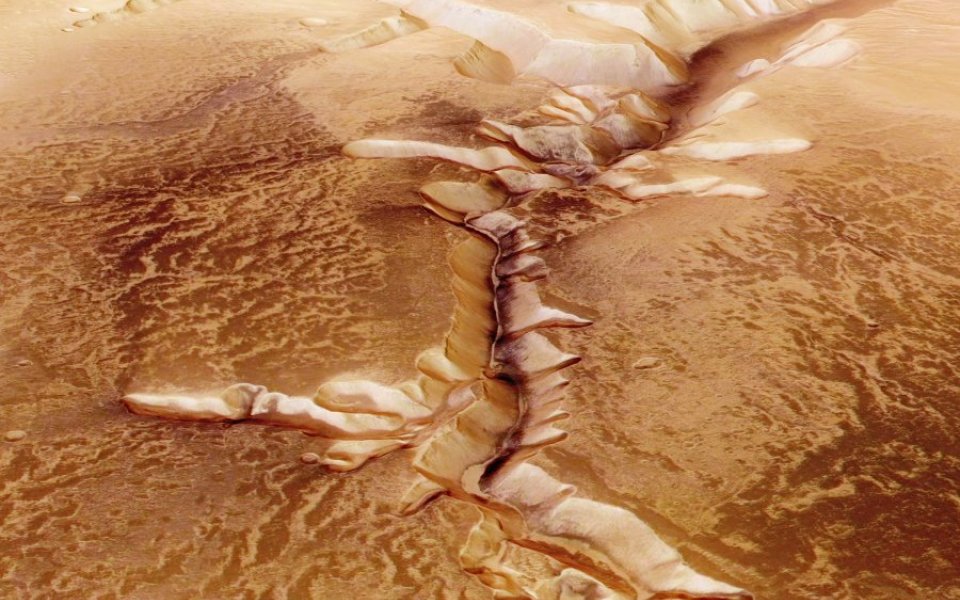
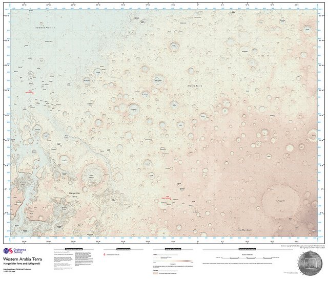
You can stroll past the canyons of Hydraotes Chaos and Aureum Chaos or the Martian crater Schiaparelli with the guidance from the newly created map.
"The one-off map, created using NASA open data and made to a 1:4,000,000 scale, is made to see if our style of mapping has potential for future Mars missions," said OS.
So what makes this particular map an OS map of Mars, and not just any old map of Mars? It's all in the detail.
"The key ingredients to this style are the soft colour palette, the traditional map features such as contours (in brown-orange) and grid lines (in cyan), and the map sheet layout complete with legend," said creator of the map – cartographic designer Chris Wesson.
OS product head David Henderson added: "“The private sector and space agencies are currently in competition to land the first person on Mars. Becoming more familiar with space is something that interests us all and the opportunity to apply our innovative cartography and mapping tradecraft to a different planet was something we couldn’t resist."
Take a look at the map below. Click or tap to explore a large version. A paper version of the map is also available for wannabe space travellers.
