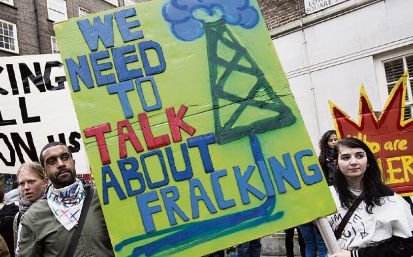
New maps on shale formations quench fears of water pollution

The UK’s burgeoning shale gas industry yesterday went some way to satiate the concerns of environmental campaigners, when new data showed the layer of rocks where the resource would be found was far below the area exploited for drinking water.
Critics argue that extracting shale gas – and the chemicals used in the hydraulic fracturing technique – could lead to water pollution. But maps put together by the British Geological Survey in partnership with The Environment Agency showed that frackers would be drilling 650m to 800m below the area used to obtain drinking water.
Groundwater from underground layers of water-bearing rock provides 30 per cent of drinking water in the UK and up to 70 per cent of the drinking water in the south east of England.
“We have strong regulatory controls in place to protect groundwater, and will not permit activity that threatens groundwater and drinking water supplies,” said Dr Alwyn Hart, head of the air, land and water research team at the EA.
The UK Onshore Operators Group welcomed the findings.