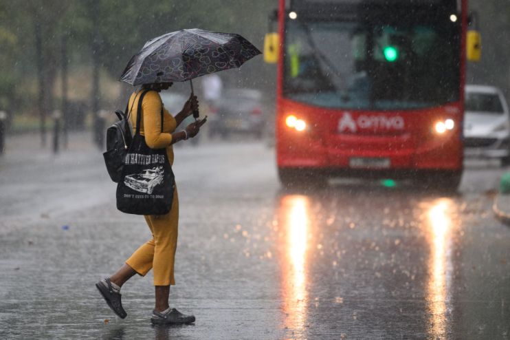
London weather: Storm Ciaran brings 90 mph winds tonight as weather forecast shifts

Storm Ciaran is set to continue battering parts of London this evening after moving through the country and the capital this afternoon.
Today hundreds of schools have been forced to close, thousands have been left without power and winds of over 100 mph have in some instances taken roofs off houses.
Major train operators are suggesting people shouldn’t travel into the capital due to expected delays and cancellations on trains due to foliage on tracks.
London remains on a yellow weather warning until midnight tonight, when 30mm of rain is likely, with up to 60mm possible. After midnight the forecast should improve somewhat but the Met Office stress the importance of regularly checking forecast updates throughout the evening.
Experts have been recommending a cautious approach to travel The Fire Brigade said: “Avoid travelling in strong winds where possible, and never shelter under trees or by fencing. Powerful winds could cause them to collapse and injure you.”
Met Office deputy chief meteorologist Brent Walker said: “As well as strong winds, there will be heavy rain across many parts of the UK.”
Brits have been sharing the extent of the damage done to houses across the nation, particularly in Cornwall where much of the worst damage happened.
And some airlines have been forced to abort landings due to the heavy winds caused by Storm Ciaran, such as this Ryanair plane captured earlier today.
Amid the disasters the Met Office has taken time to remind us that the sun is still shining in Northern Ireland, sharing visuals of the storm swirling off the coast of the east coast of England.
The Met Office added: “Very strong winds are expected along southern coastal areas of England in particular, where gusts of 70 to 80mph are possible, perhaps exceeding 85 mph in a few exposed locations. Further inland, gusts could reach up to 50 or 60mph.
“As well as strong winds, there will be heavy rain across many parts of the UK. Much of southern and western England, Wales, northeast England and eastern Scotland look to see the wettest conditions between Wednesday evening and Friday morning. 20-30 mm of rain is likely to fall quite widely, with 40-60 mm possible over higher ground. Some parts of Wales and southwest England may see 80 mm of rain. This rain will fall on already saturated ground, bringing the risk of flooding.”
